DEFENSE
Play Video
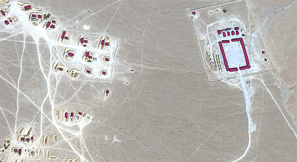
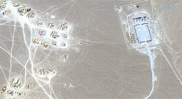
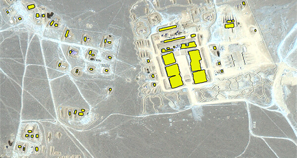
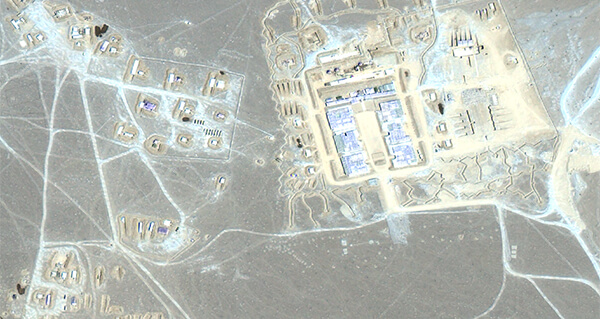
Information superiority is of very importance and is maintained by Intelligence, Surveillance and Reconnaissance (ISR) operations that enable getting the right information to relevant stakeholders at the right time. It is our endeavor to deliver a truly intelligent system that can constantly keep scanning satellite imagery data, extract relevant secondary information and keep building credible GEOINT on regular basis and may collaborate with available HUMIT, SIGINT and any other discipline of intelligence.